From ground truth
to built reality.
Point Path Ltd. unites surveying, geospatial intelligence, infrastructure design, and construction under one roof — delivering measurable accuracy for governments, utilities, and industry across Iraq.
Trusted by government, industry & international organizations













Pipeline corridors surveyed
Water & gas corridors mapped by drone, GNSS and GPR for major operators.
Governorate master plans
Water & sewer master plans for Thi-Qar and Al-Diwaniyah, spanning 2025–2050.
Survey instruments in fleet
GNSS/GPS receivers, total stations, UAVs and automatic levels in active service.
Integrated disciplines
Geospatial, infrastructure design, oil & gas construction and specialist supply.
One consultancy.
Four disciplines working as one.
Point Path is a multidisciplinary engineering and geospatial firm. We bring survey, design, construction, and specialist supply into a single coordinated team — so the data that comes off the ground flows straight into the decisions that shape your project.
Surveying & Geospatial
Precise spatial data capture and analysis — from total-station and GNSS ground control to UAV photogrammetry, LiDAR and GIS.
ExploreInfrastructure Design
Study, design and master planning for roads, water supply, sewerage, hydrology and urban development.
ExploreOil & Gas Construction
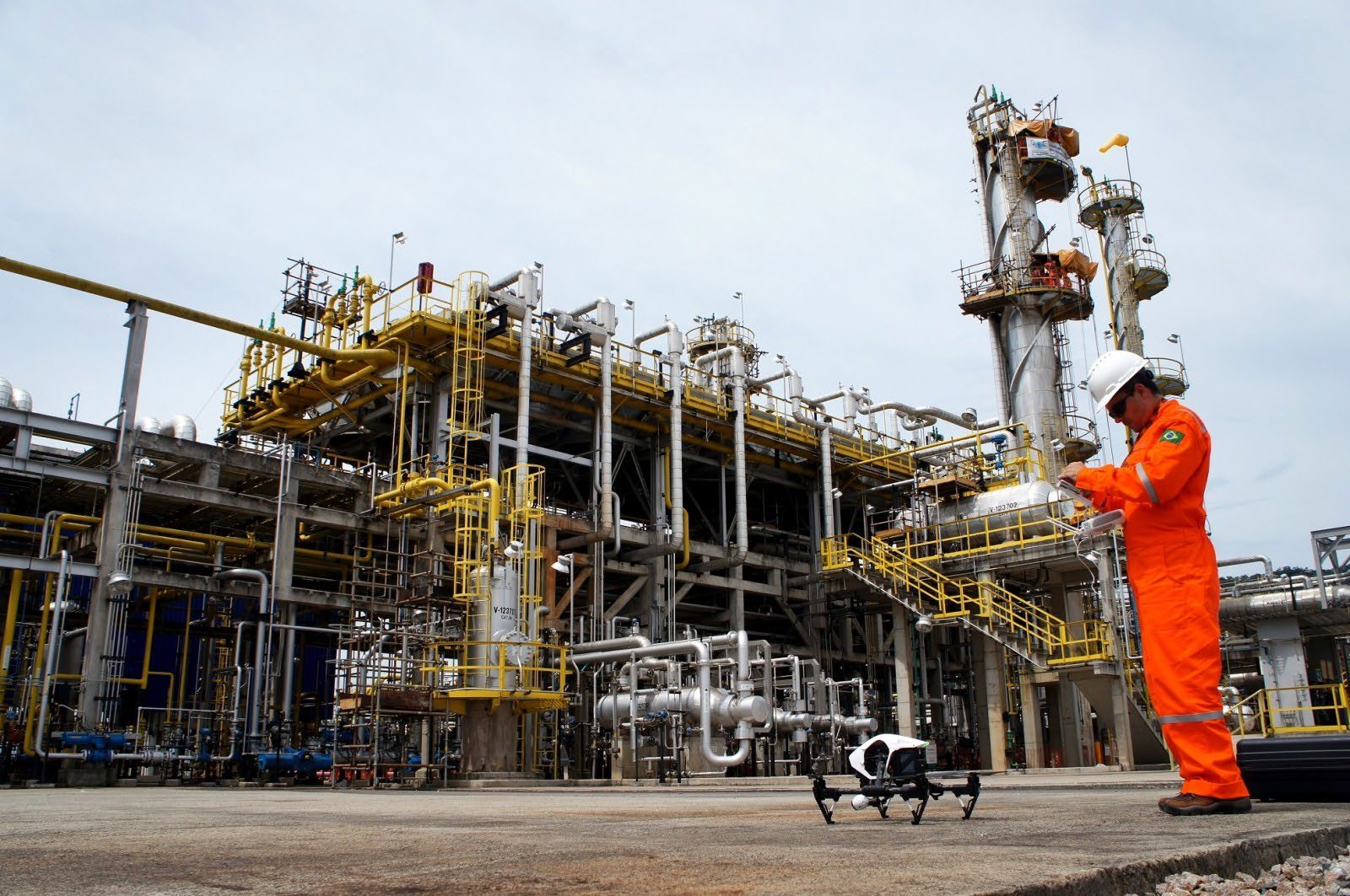
Pipeline fabrication, tank installation and mechanical works delivered by trained brown-field crews.
ExploreExclusive Supply
Distribution of leading European brands — egeplast pipe systems, TECOFI valves, Wilo pumps and Georg Fischer.
ExploreCapabilities engineered for the whole project lifecycle
From the first control point to the final delivered network, our services connect — reducing hand-offs, tightening timelines, and keeping accuracy intact end to end.
Built to be trusted with the projects that matter
Government agencies, utilities and industrial operators choose Point Path because precision, integration and reliability are engineered into how we work.
Truly integrated delivery
Survey, design, construction and supply under one roof. Fewer interfaces, fewer errors, and data that moves seamlessly from field to design to build.
Accuracy you can audit
Every deliverable is tied to verified ground control with a stated accuracy. We don't estimate precision — we measure and document it.
Modern instrumentation
A fleet of 35 GNSS receivers, 11 total stations, 5 UAVs and 15 levels — matched to each site so we capture more, faster, and safer.
Standards & confidentiality
Work executed to applicable local and international standards, with professional ethics and client confidentiality safeguarded on every engagement.
On-time, on-spec
Proven delivery from governorate master plans to live-facility pipeline works — completed to specification, on or before deadline.
A regional partner
Established relationships with local and international entities across the public and private sectors, supporting projects the length of Iraq.
Projects that prove the method
Real engagements for real clients — from a 264 km UAV corridor survey to governorate water master plans and refinery pipeline works.
Industry-standard tools, expertly applied
The right instrument for each site, and the right software for each analysis. Our technology stack spans the full journey from raw measurement to engineered outcome.
GNSS receivers
Total stations
UAV platforms
Automatic levels
Field acquisition
Design & modelling
Geospatial & analytics
Sector expertise where the stakes are highest
We tailor our methods to the demands of each sector — from live oil & gas facilities to governorate-scale water networks.
Government & Municipal
Master plans, land-use mapping and infrastructure design for ministries and municipalities, including work with the KRG and JICA.
Oil & Gas
Corridor surveys, utility detection, pipeline construction and tank installation for refineries and operators.
Utilities & Water
Water supply and sewerage design, hydraulic modelling and specialist supply for water authorities and utility providers.
Infrastructure & Roads
Roadway, highway and bridge design supported by survey, hydrology and drainage engineering.
Construction & Real Estate
Setting-out, as-built survey and infrastructure design for residential, commercial and mixed-use developments.
Mining & Resources
Volumetric survey, remote sensing and mapping to support resource assessment and site operations.
Environmental
Environmental monitoring, impact assessment and remote-sensing analysis for sustainable development.
Agriculture
Precision-agriculture mapping, crop monitoring and land classification from drone and satellite imagery.
A disciplined path from brief to built
Four stages, one continuous data thread. Each hand-off is internal, so nothing gets lost between the field and the final deliverable.
Consultation & Scoping
We start by understanding your objectives, constraints and standards, then define a clear scope, methodology and programme.
Survey & Data Capture
Our teams capture ground truth using the right mix of GNSS, total station, UAV and LiDAR — all tied to verified control.
Analysis & Design
We model, analyse and design — from hydraulic and traffic modelling to treatment, network and corridor engineering.
Delivery & Support
We deliver documented, standards-compliant outputs and stay engaged through construction, supply and commissioning.
Let's map the path to your next project.
Tell us what you're building. We'll bring the survey, the design, and the delivery — with the precision your project demands.